 भारत सरकार | Government of India
भारत सरकार | Government of India
भारत सरकार | Government of India
From the esteemed faculty members of CoE, LBSNAA.
Simple learning managment system to learn and self evaluate
Earn certificates for certain courses
One stop place for visualize all our publications
This e-module is designed to assist land revenue officials and others in understanding land surveying in the context of Urban Surveying with the help of introducing the new CORS technology used by the GNSS NRTK rovers. By the end of this module, learners will be able to effectively manage and digitize land records, ensuring accessible land information.
Upon completion of this module, learners will be able to:
What is CORS and why it is needed?
Learning about the SOI's CORS Network.
Understanding step by step methodologies for land survey in the scenario of Urban Local Bodies.
Explaining about the CORS and basic technology behind it
Standard Operation Procedure (SOP) for CORS Registration Process
Real Time Positioning Services
Reference Data Services
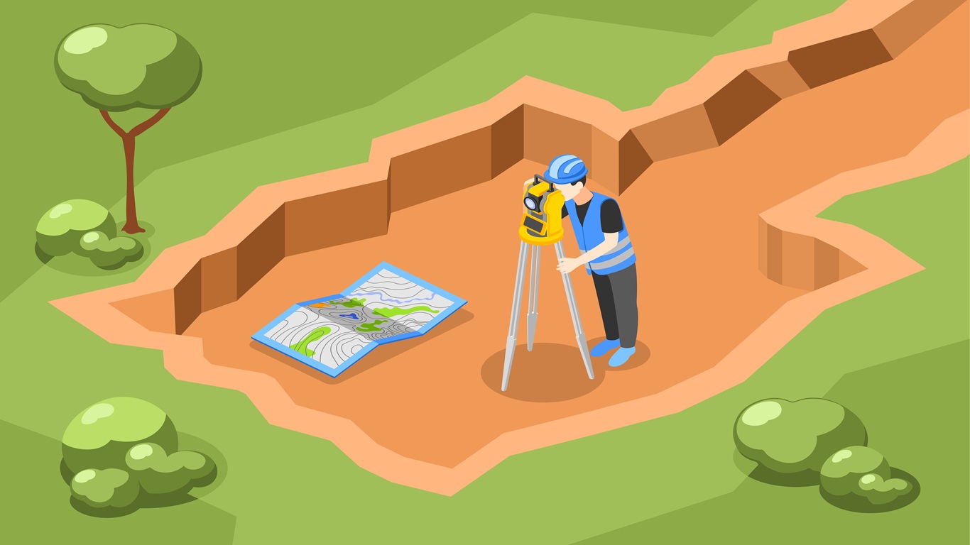
An overview of the field survey's salient instructions and a simple step by step description of the methodologies which is used for field survey, by using an urban city survey scenario based case studies.
Key Steps in a Land Parcel Survey